
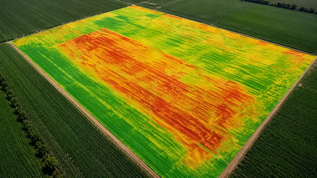
Crop Health Analysis
Identify stress, disease, and nutrient deficiencies early to protect yield potential.

Field Mapping & Scouting
High-resolution maps and imagery give you complete visibility of your fields.
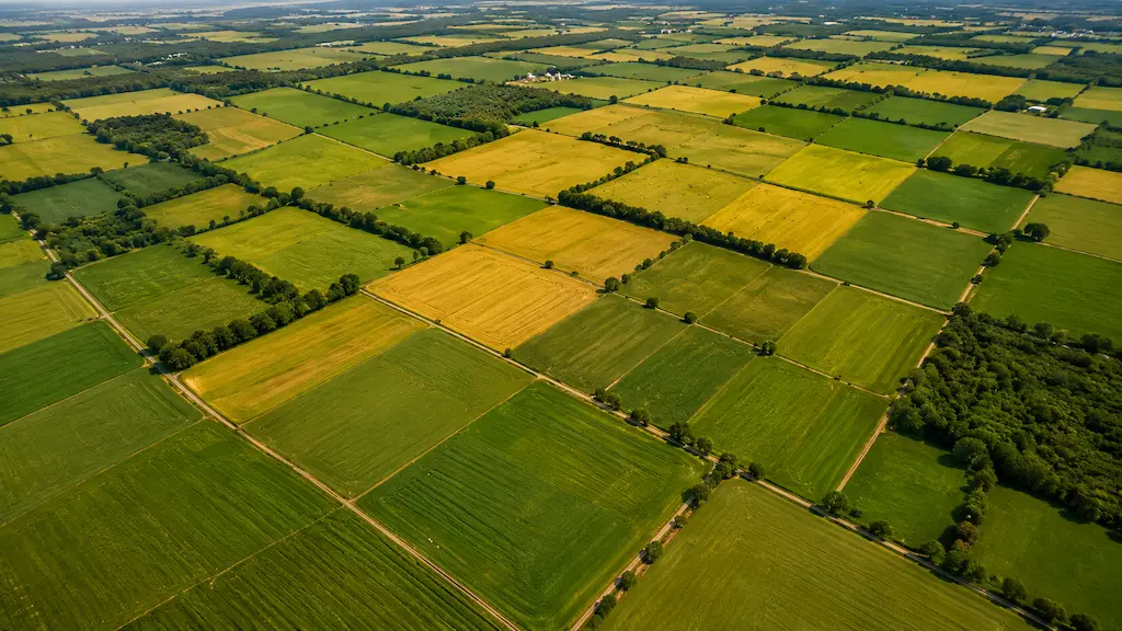
Variable Rate Application
Use data-driven insights to optimize inputs and reduce waste and costs.
Track Performance Over Time
Monitor growth, compare seasons, and make better long-term decisions.
Crop Health Analysis
Field Mapping & Scouting
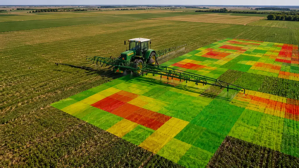
Variable Rate Application:
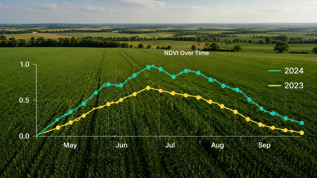
Track Performance Over Time

What's Included

Best For

Why Choose SCAN?