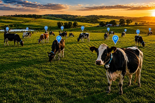
Livestock Counts
Accurate aerial counts help you track herd size and distribution across large areas.

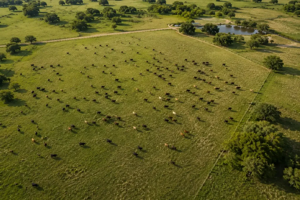
Pasture Visibility
Monitor pasture conditions, water sources, and grazing patterns from above.

Herd Location Support
Quickly locate and move herds with aerial visibility that saves time and reduces stress.

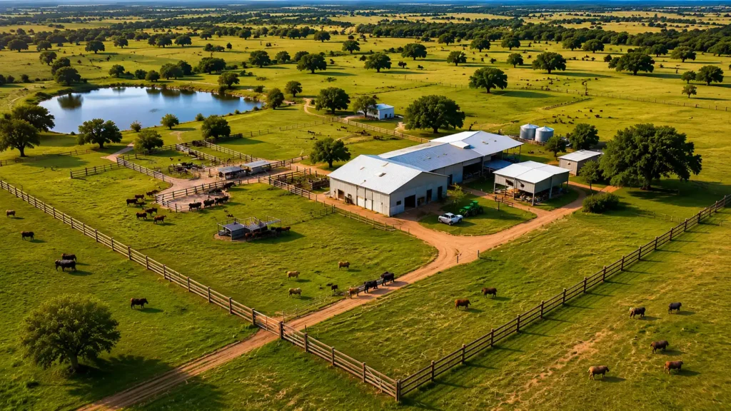
Ranch Overview Imagery
High-resolution aerial imagery for ranch documentation and management planning.
Livestock Counts
Pasture Visibility
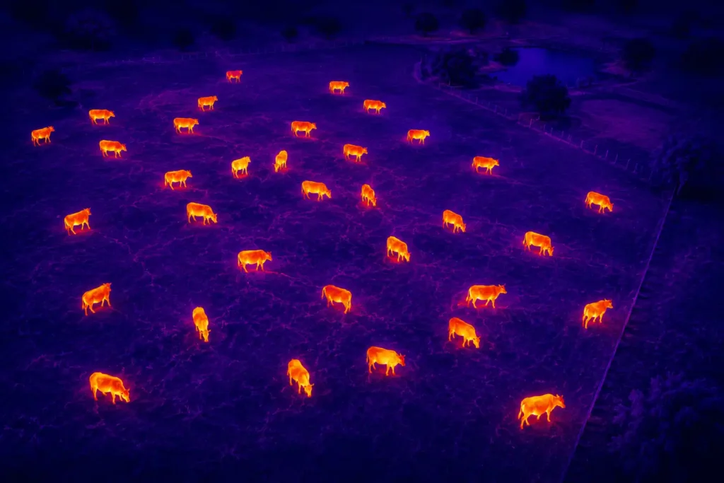

Thermal Livestock Monitoring

Ranch Overview Imagery

What's Included

Best For

Why Choose SCAN?