
Accurate & Detailed:
High-resolution data with centimeter-level accuracy.

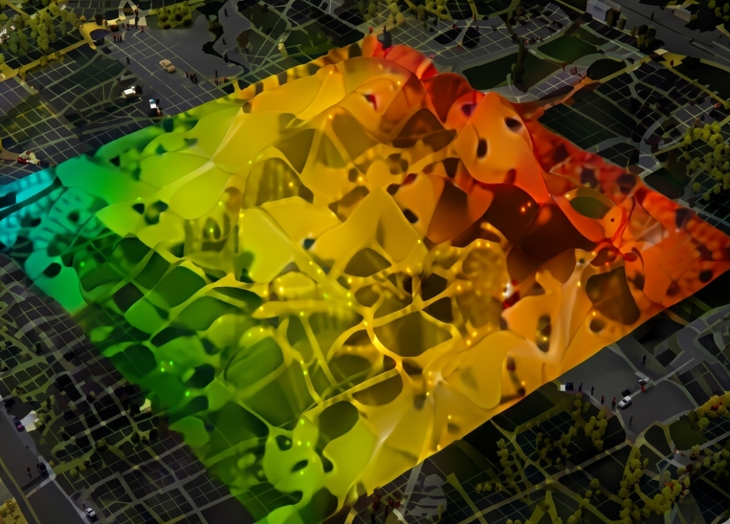
Orthomosaic 2D & 3D
Geo-referenced maps and true-scale 3D models.
Smart Data
Collect, analyze, and extract insights that matter.

Save Time & Cost
Faster decisions, reduced rework, and lower costs.
Easy Delivery
Fast, secure delivery of maps, models, and reports.

Trusted Experts
FAA-licensed pilots and advanced UAV mapping technology.

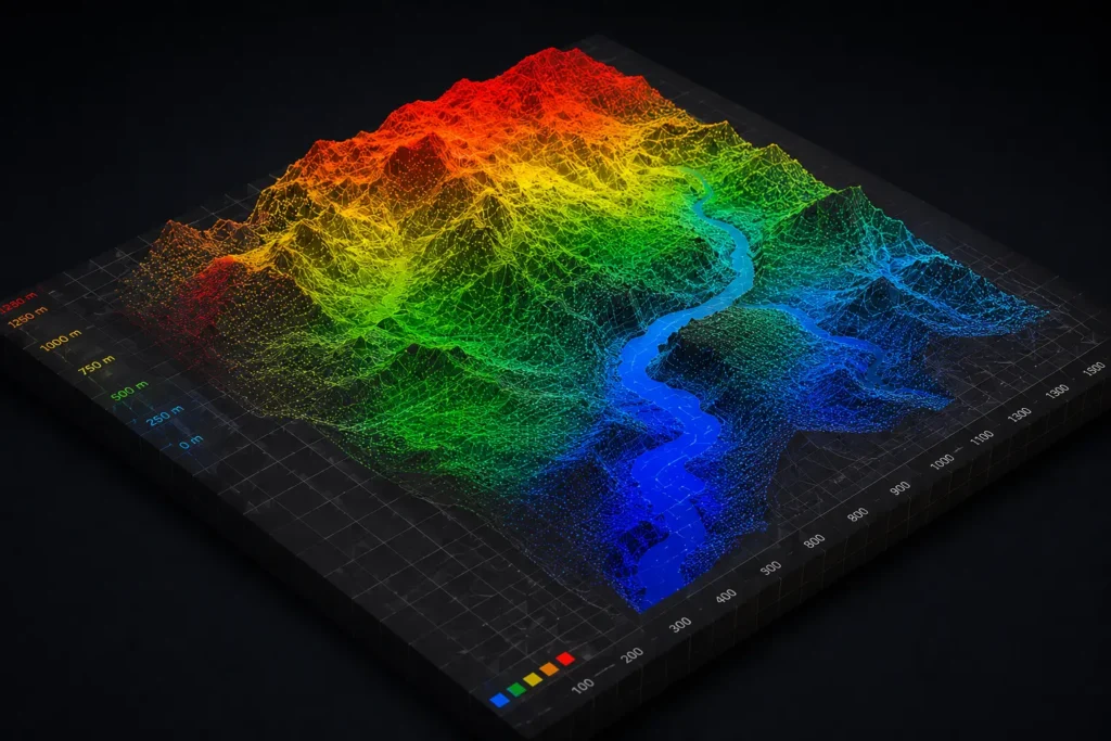
Topographic Maps
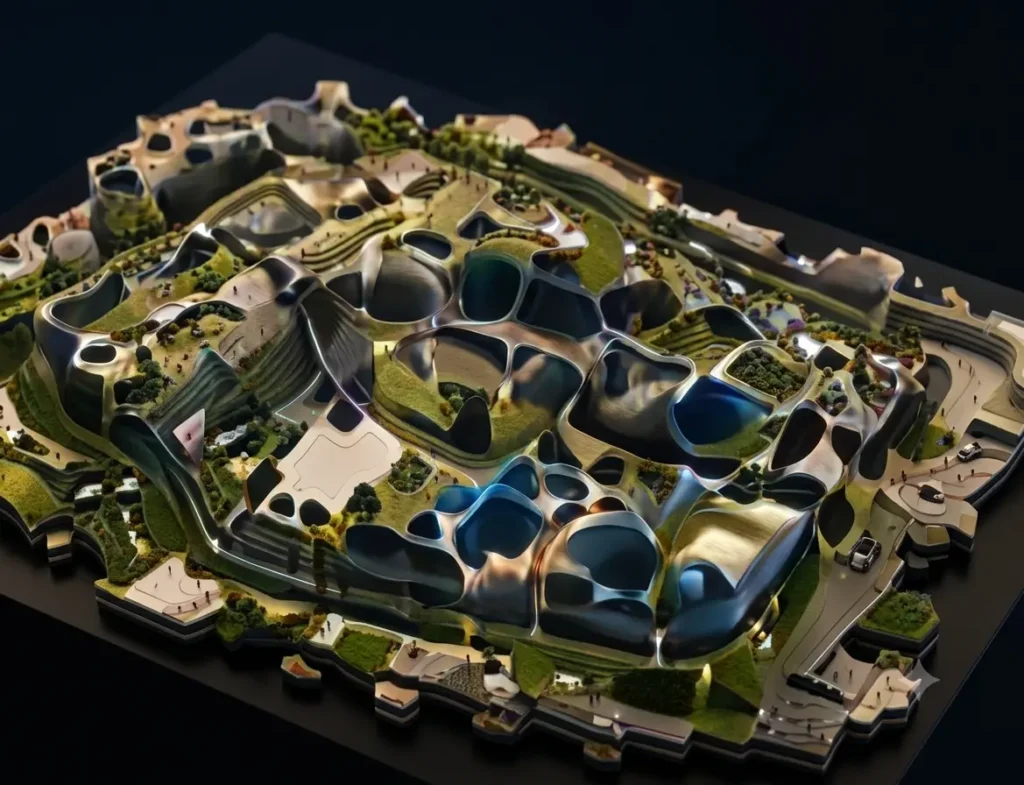
3D Models
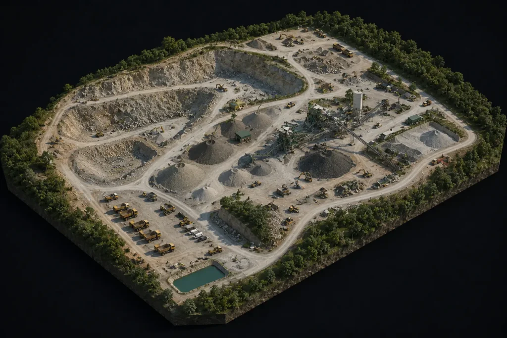
Orthomosaic Maps
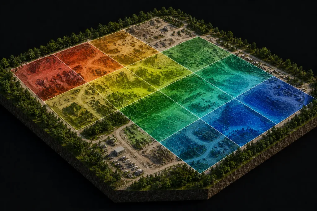
Volume Calculations
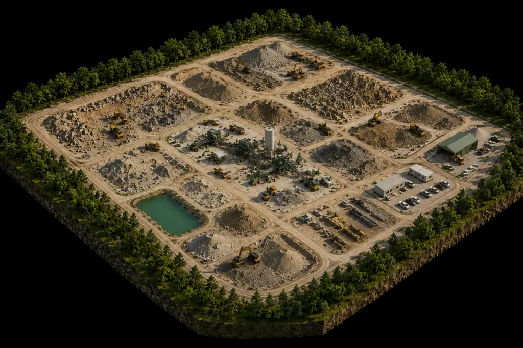

Site Progress Maps

GIS Data Export

What's Included

Best For
Why Choose SCAN?